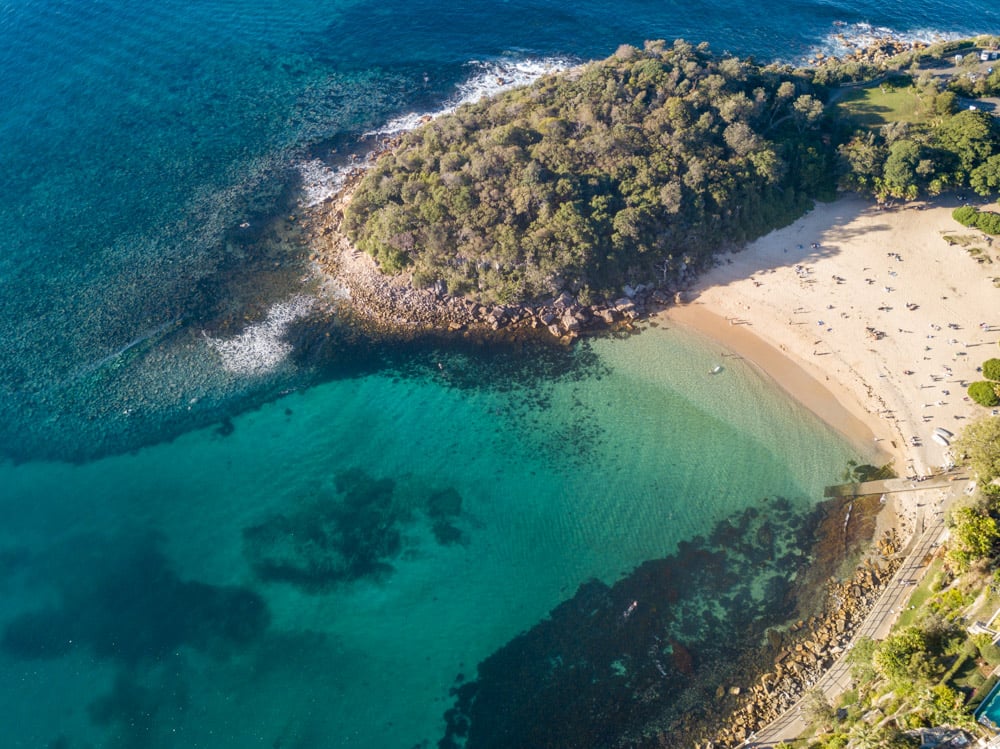
Summary | Weather Forecast | Diving Forecast | Model
Summary
Forecast for the next 7 days according to Reefranger:
Today at Rain Island, conditions are less than ideal for snorkeling and diving. The swell is at 2.1 meters with strong southeast winds at 39.2 km/h, creating significant surface chop. Throughout the week, similar conditions persist, with swells slightly increasing and winds gradually decreasing to 32.0 km/h by Tuesday. The best day to venture out is Tuesday, with improved conditions and lower swell heights of 2.0 meters, still requiring caution. The ocean temperature remains warm at 28.1°C, so no wetsuit is necessary, but avoid the weekend as swells peak at 2.8 meters on Sunday.
Weather Forecast
Surface Conditions
Weather Conditions
Wednesday
28°
28.6°
Thursday
27.7°
28.7°
Friday
27.6°
28.4°
Saturday
27.7°
28.5°
Sunday
28°
28.5°
Monday
27.6°
28.1°
Tuesday
27.3°
28°
Note that local weather not directly impact diving scores. Still useful if you prefer to dive in the sun and without rain.
Diving Forecast
These are the reefranger ratings for the next 7 days. Ratings are available for the morning, low tide, and high tide. Tides are shown during the daytime (6am to 8pm). Ratings currently take into account Swell Height, Swell Direction, and location exposure based on swell direction versus the orientation of the site.
Scores reflect the ocean conditions in the 2 hours between 8am and 10am, and consider local heavy rainfall in the period prior.
1.9m 7sec
38.2 km/h SE
2.2m 8sec
36.7 km/h SE
2.2m 8sec
36.4 km/h SE
2.4m 8sec
33.1 km/h ESE
2.8m 10sec
33.1 km/h ESE
2.2m 10sec
32.8 km/h ESE
1.9m 10sec
31 km/h ESE
Scores reflect the ocean conditions in the 2 hours after low tide, and consider local heavy rainfall in the period prior.
16:24
2.0m 7sec
37.8 km/h SE
17:15
2.0m 8sec
38.5 km/h SE
18:31
2.1m 8sec
36.4 km/h SE
10:51
2.4m 8sec
33.8 km/h ESE
11:34
2.6m 10sec
32.8 km/h ESE
12:07
2.1m 10sec
31.7 km/h ESE
12:33
1.9m 10sec
30.2 km/h ESE
Scores reflect the ocean conditions in the 2 hours after hight tide, and consider local heavy rainfall in the period prior.
10:01
1.9m 7sec
37.4 km/h SE
10:53
2.2m 8sec
36.7 km/h SE
12:35
2.1m 8sec
36 km/h SE
15:20
2.3m 9sec
35.3 km/h ESE
17:02
2.3m 10sec
34.9 km/h ESE
17:54
2.0m 10sec
32 km/h ESE
18:31
1.8m 10sec
31.3 km/h ESE
Model
Swell and wind impact diving suitability, but not all swells and winds are equal. A dive site may be protected from wind and swell by nearby geography. The model uses these exposure ratings to determine how much impact a wind and swell will have on the dive site, based on the origin of the winds or waves.